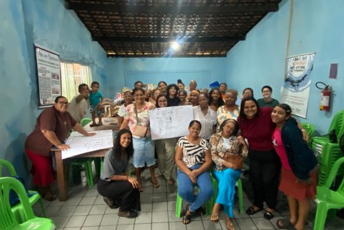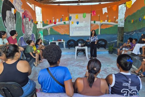
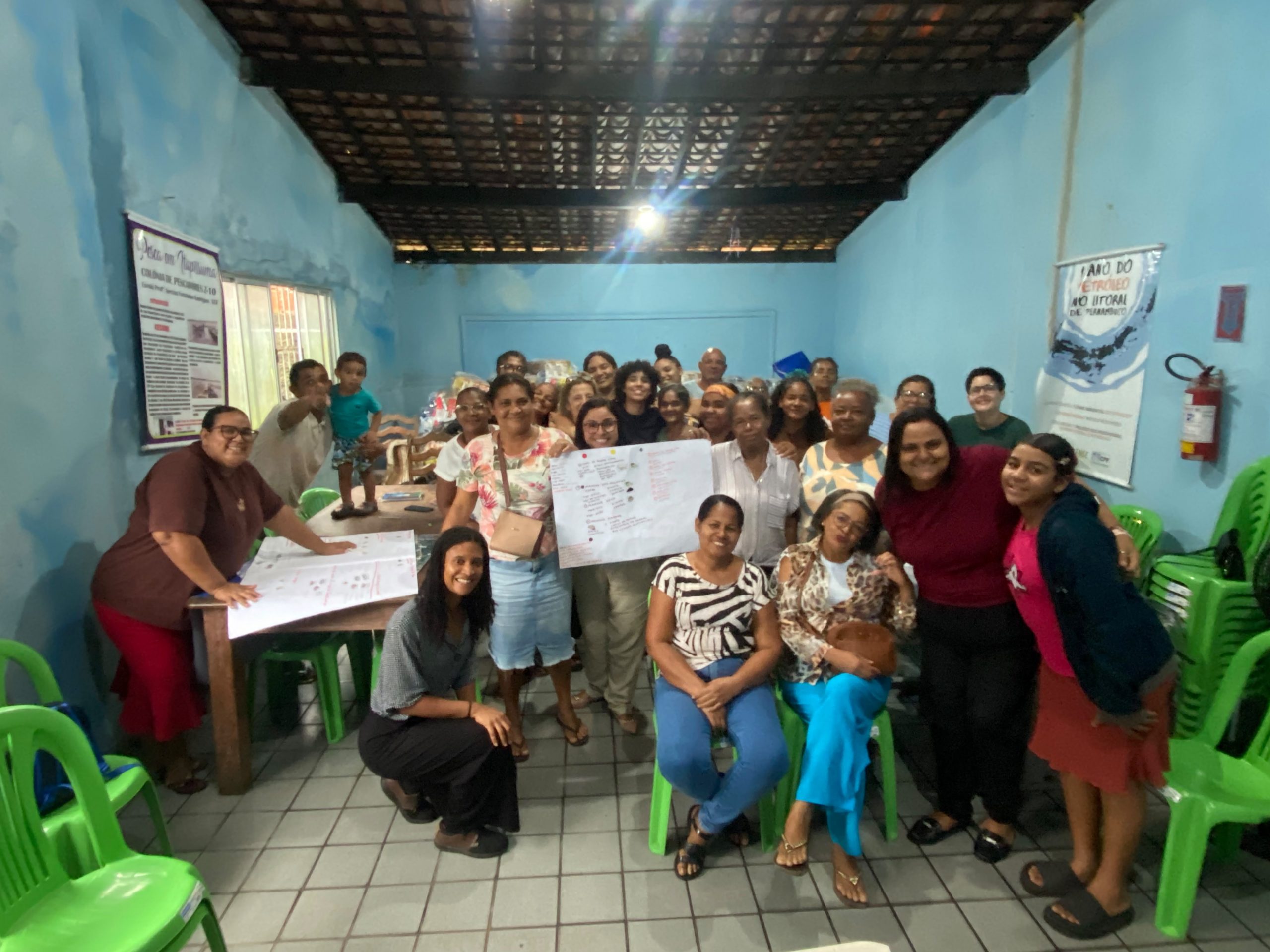
On August 3, 2026, as part of the SUFUMANG project, a participatory mapping workshop was held with artisanal fishers at Colônia Z-10, in Itapissuma (Pernambuco, Brazil). The activity brought together participants in four groups, each organized around large satellite images of the territory placed at the center of the tables. The goal was simple and powerful: to map, based on their own knowledge and experiences, the spaces where they fish and the multiple relationships they establish with these places.
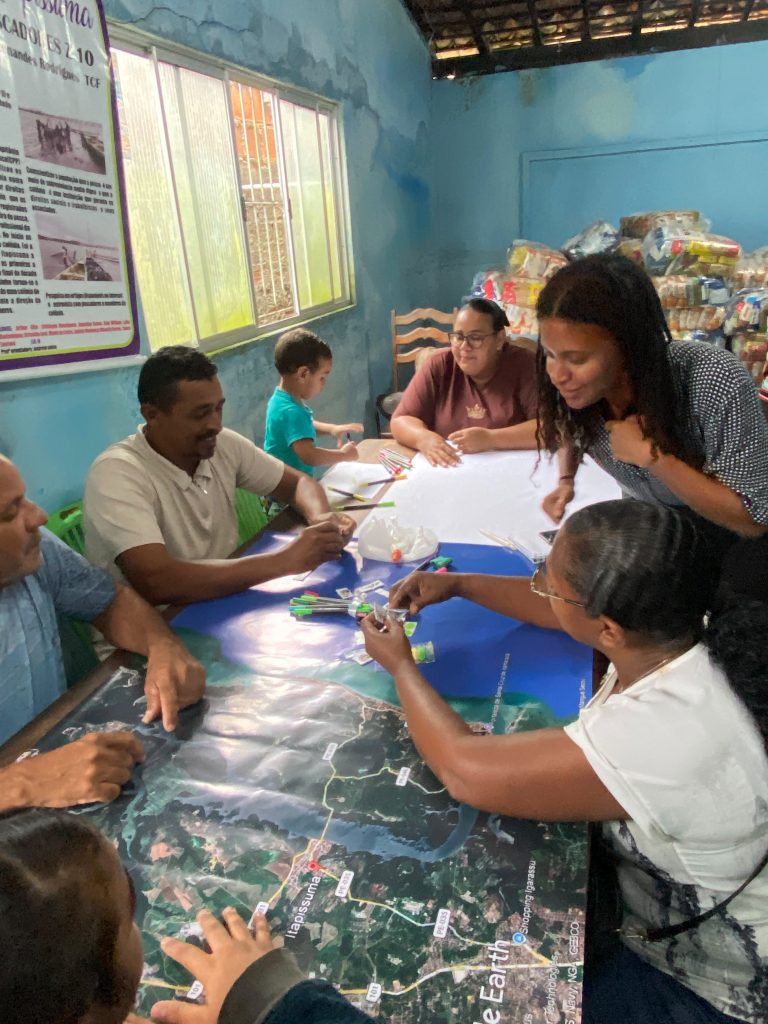
Throughout the discussions, the groups identified the main fishing areas, the species caught, the gear and techniques used in each location, as well as the impacts and changes perceived in these spaces over time. The activity not only transformed the everyday experience and knowledge of fishers into spatialized information, but also created a space for exchange and reflection on the different uses of the territory and the challenges faced by artisanal fishing.
The data and insights produced during the workshop will contribute to a broader understanding of the relationships between fishing communities and their territories, valuing local knowledge and reaffirming the role of fishers as protagonists in the production of knowledge about the sea and the coast.